From Manutūkē to Te Reinga
In June 2023, the Gisborne District Council reached out to the Rongowhakaata Iwi Trust (RIT) and Tātau Tātau o Te Wairoa (Tātau Tātau), regarding recovery planning post Cyclone Gabrielle, which caused landslides and accumulated debris from the Hangaroa awa, washed away bridges and parts of the Tiniroto road. This southwestern area of Rongowhakaata’s tribal estate was traditionally known as Te Waihau.
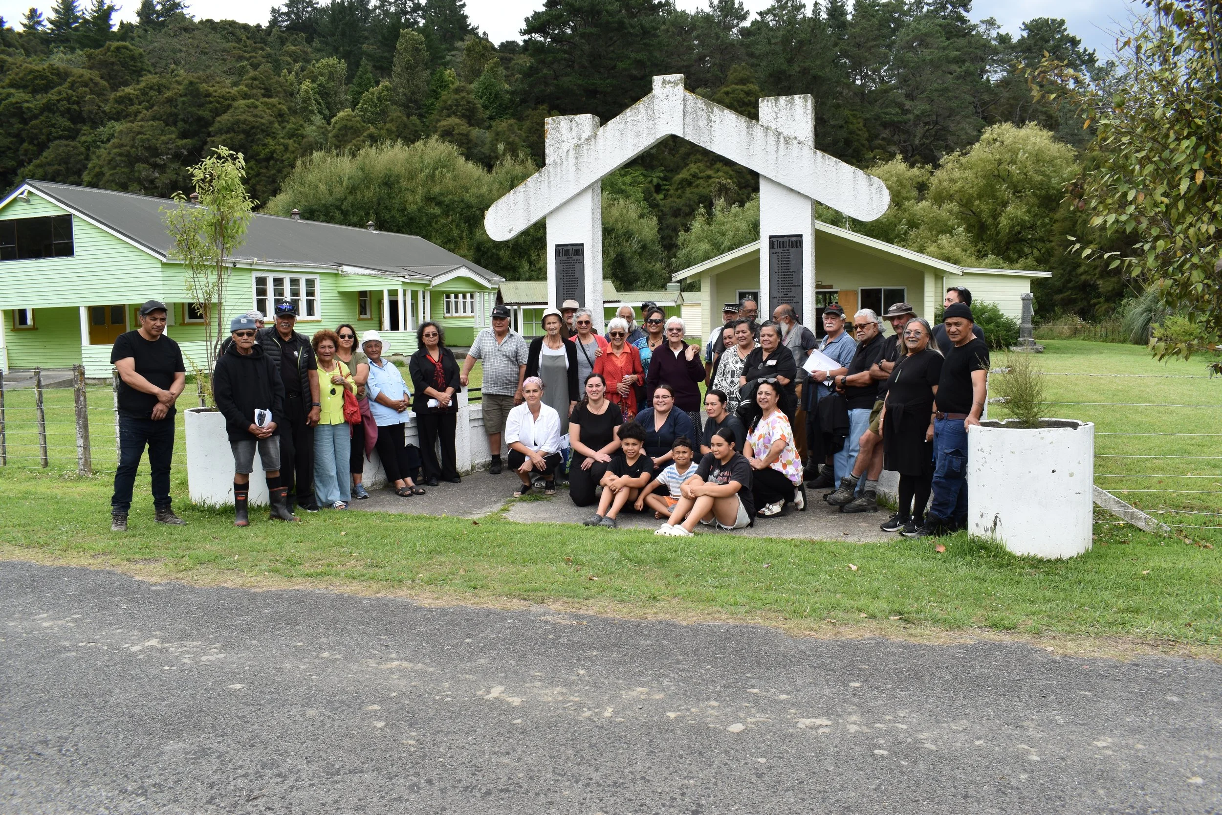
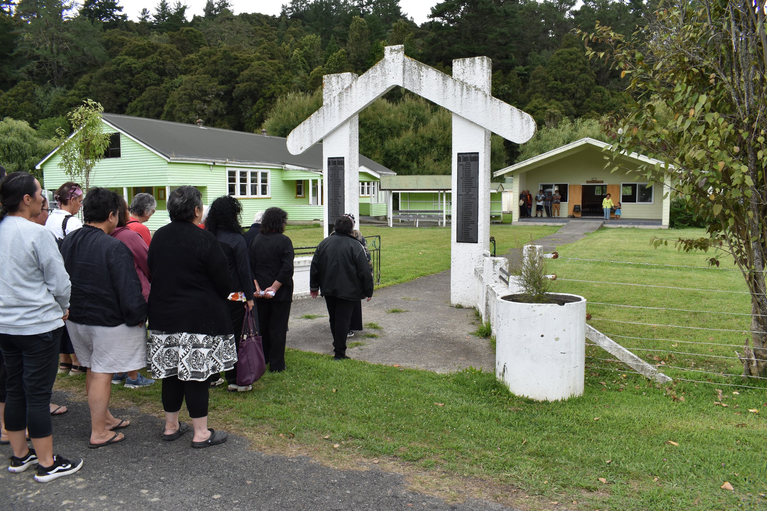
While attempts had been made to meet earlier, finally at the invitation of Te Hononga o Nga Awa Cluster, of Tātau Tātau, Rongowhakaata met to hui at Te Reinga Marae on 27 January 2024.
This opportunity for whakawhanaungatanga, enabled Rongowhakaata to reconnect with this part of our rohe, not often seen, including Waerenga o Kuri. The maunga in Waerenga o Kuri, between Rimuhau and Rimuroa, were known as the area in which our hapū traded resources with Ngāti Hinehika of Te Reinga.
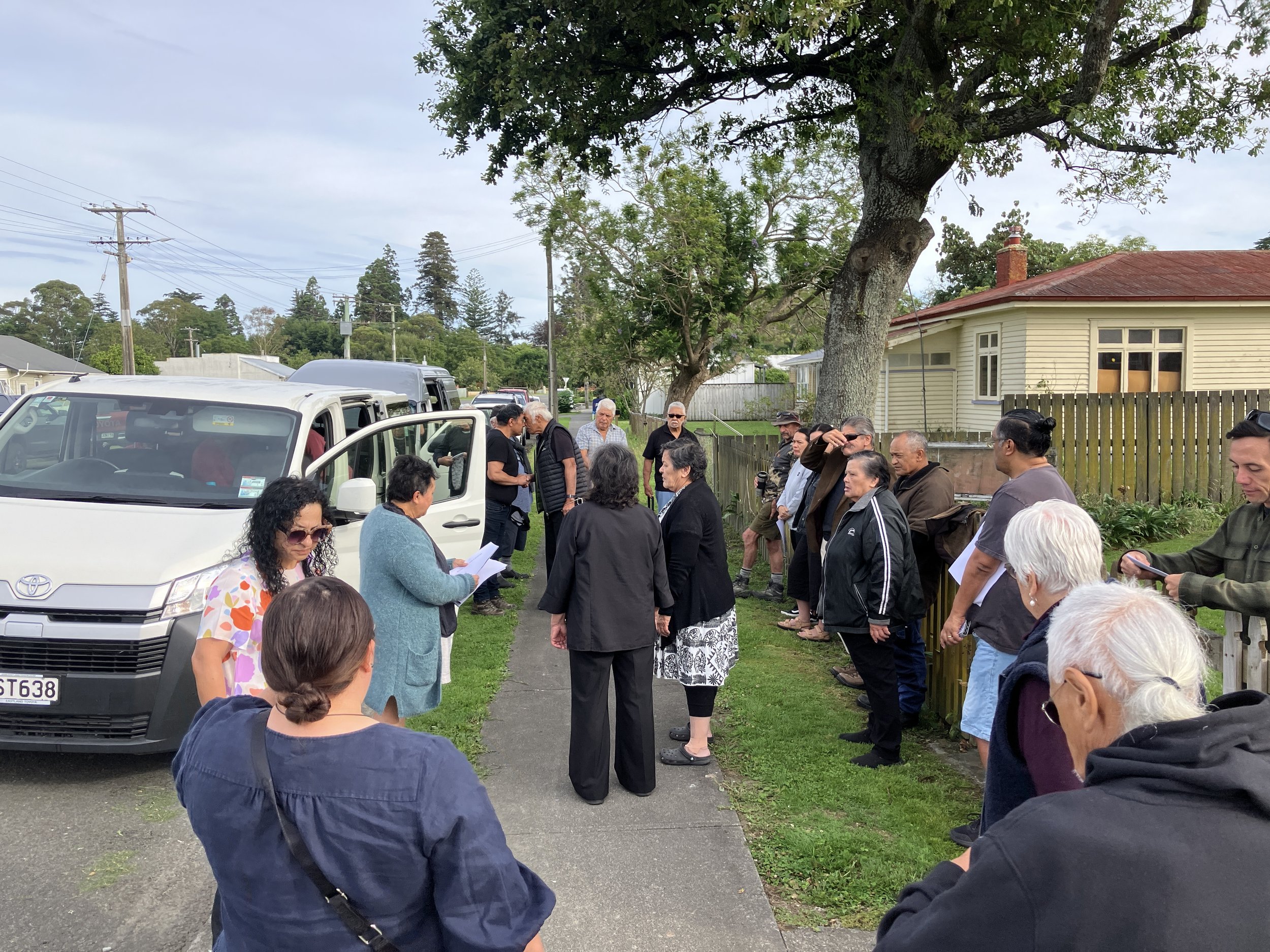
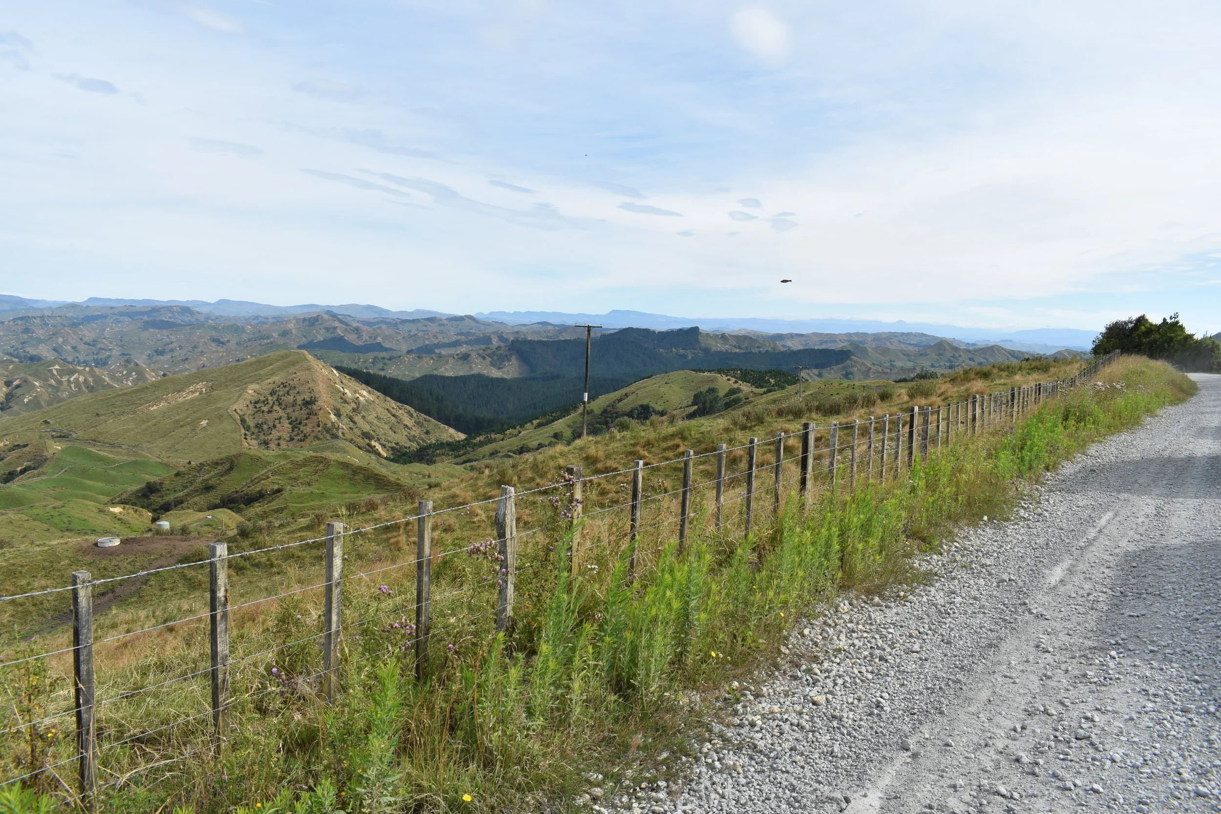
We travelled from Waerenga o Kuri, on the Parikanapa road to Te Reinga. This steep hill country road, cuts along ridges, that were used by our tipuna Ruapani and Te Kooti Rikirangi, to traverse this area in their time.
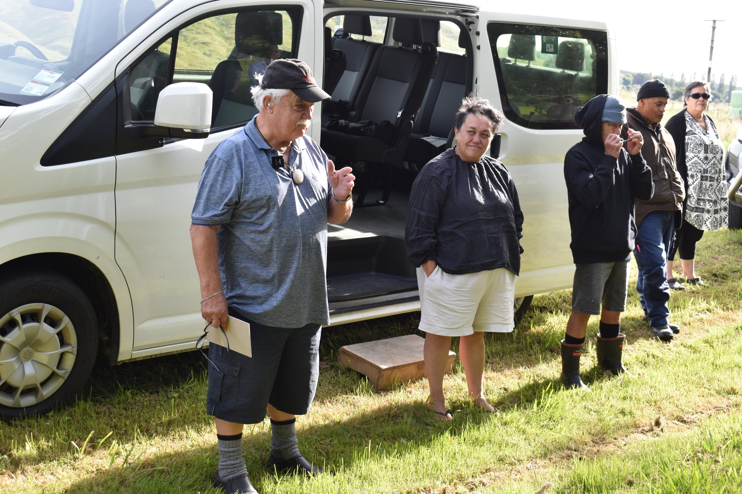
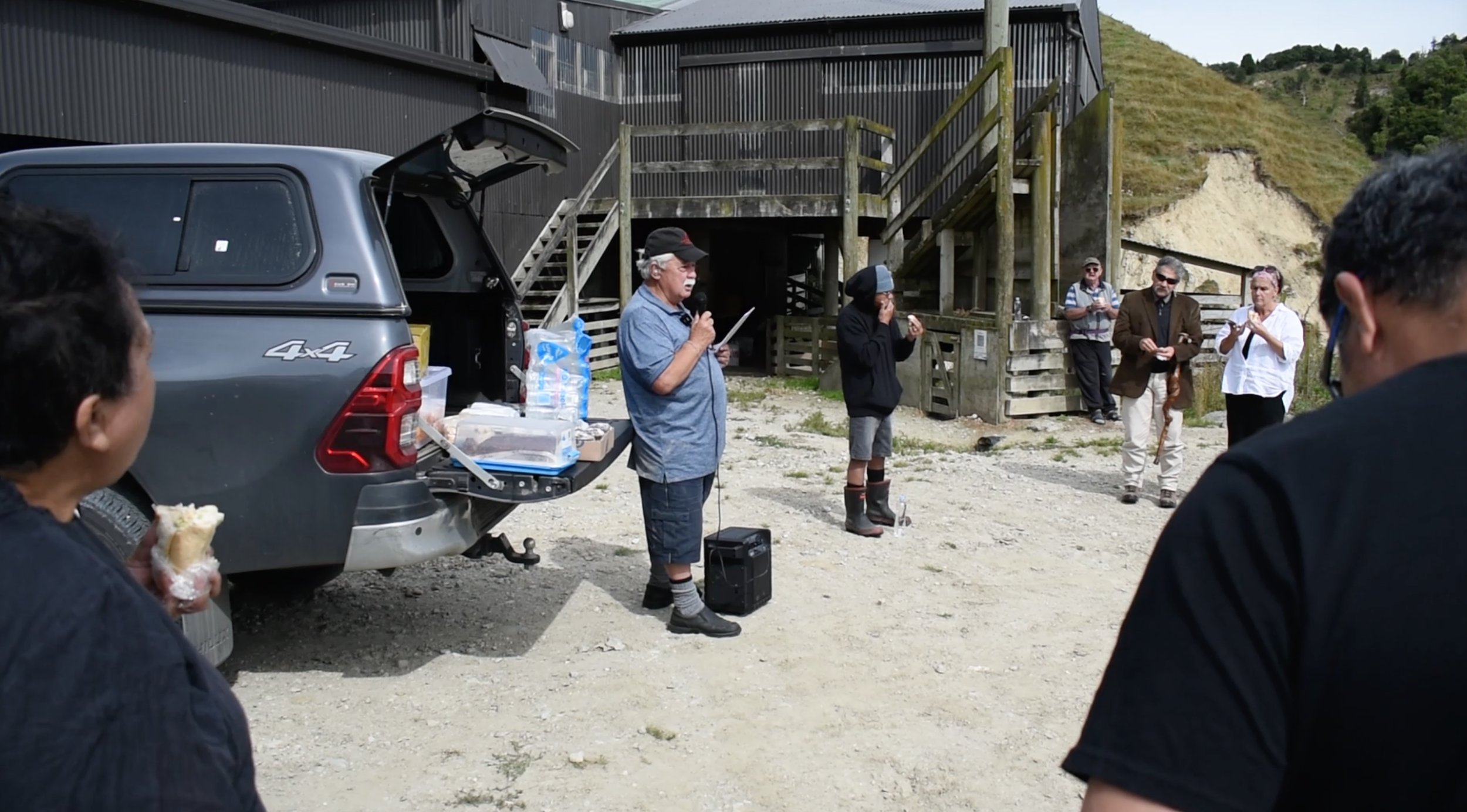
We stopped off along Kaikoura Station, which was bought back by Te Arai Matawai Incorporation. Te Arai Matawai, veers onto the front of Parikanapa road. A reservation of 560 acres was set aside for the native owners and called Whakaongaonga 2G1, and is the remnant piece of Māori land still in Rongowhakaata ownership, that remains part of the original Te Waihau block (70,000 acres).
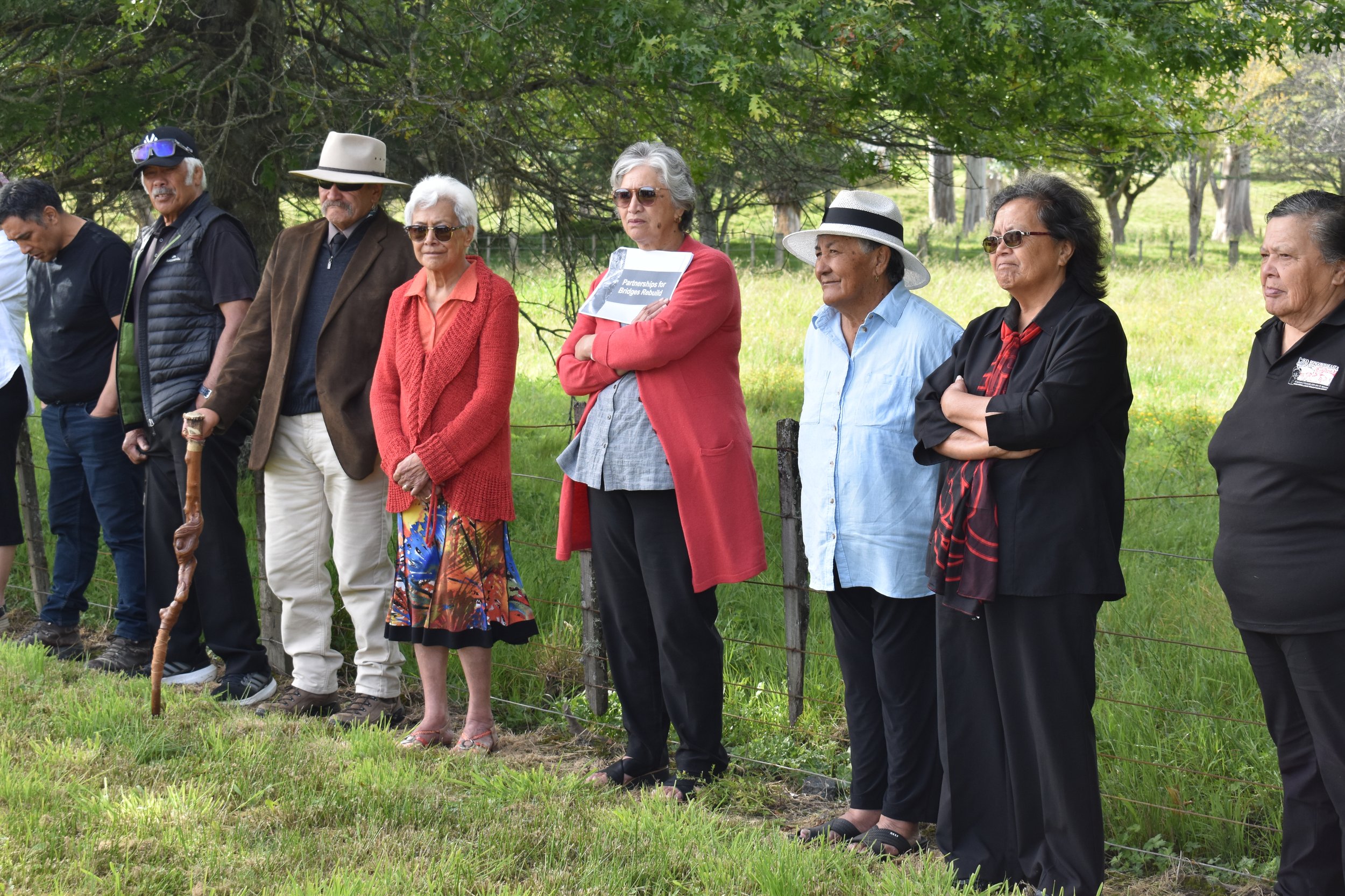
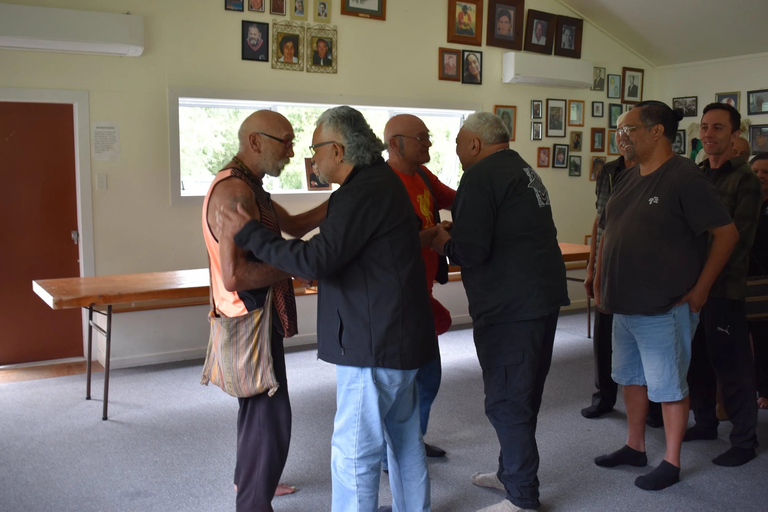
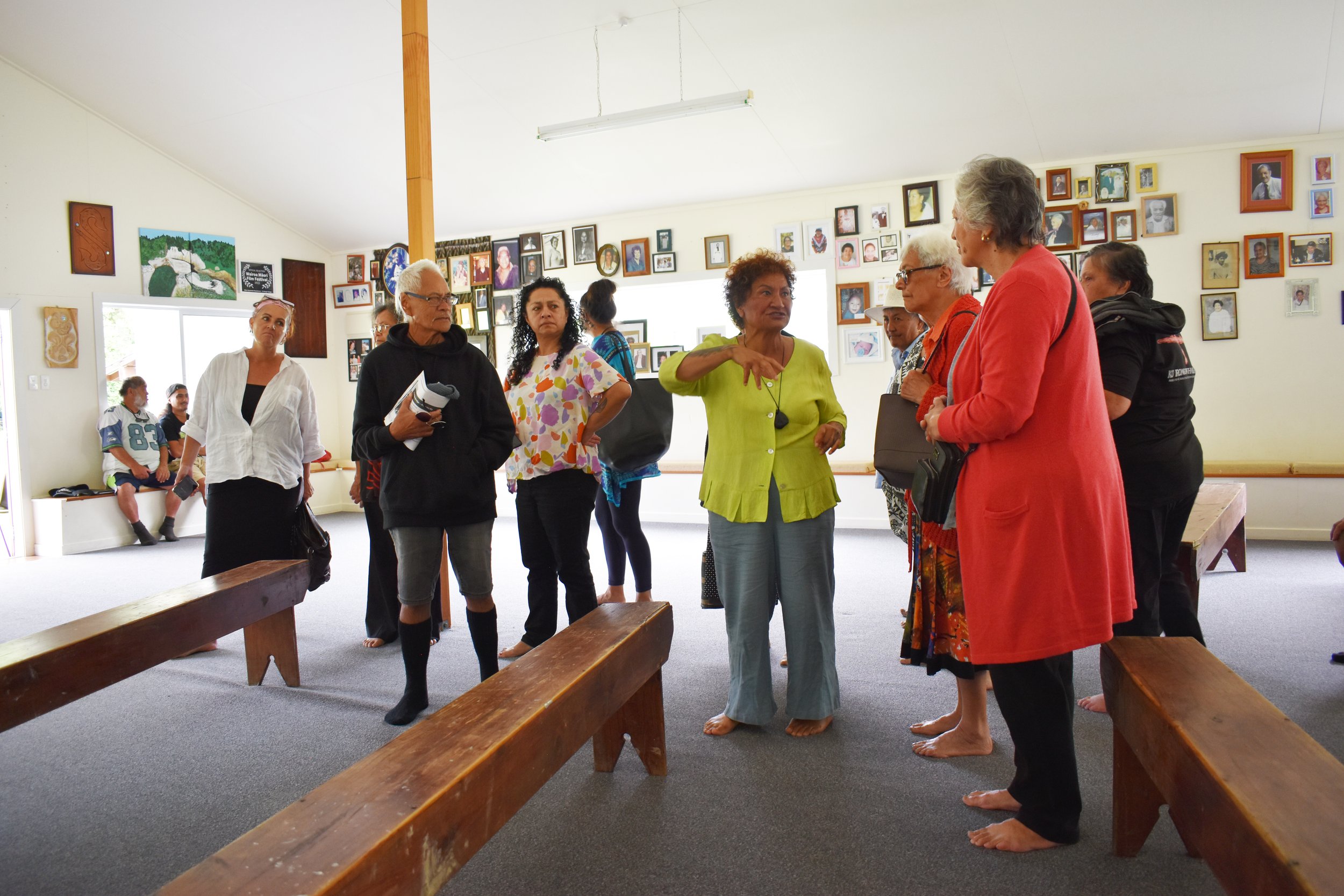
We were welcomed at Te Reinga Marae by whānau and the kaumātua of Te Hononga o Nga Awa and were able to share our mutual connections and stories.
Listen below to some of the Kōrero shared by Dr Stan Pardoe to Rongowhakaata whānau who were present or download the hikoi notes.